

 Your new post is loading...


This is a way of appreciating the natural wonders of the physical landscape in a slightly less academic fashion than typically posted here. Enjoy!
Research and publish the best content.
Get Started for FREE
Sign up with Facebook Sign up with X
I don't have a Facebook or a X account
Already have an account: Login

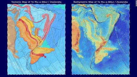
Stage 4 Landforms & Landscapes
8.3K views |
+0 today
Resources to support NSW Geography 7-10 Syllabus
Curated by
GTANSW & ACT

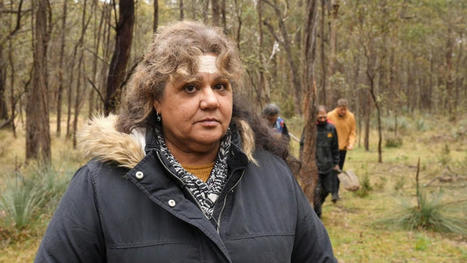

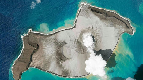
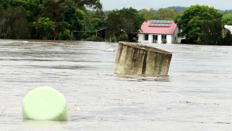

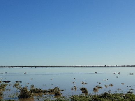
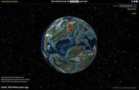
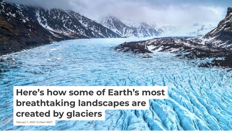
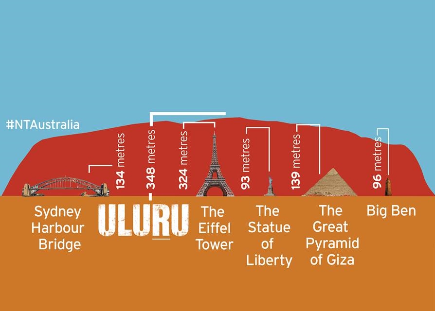

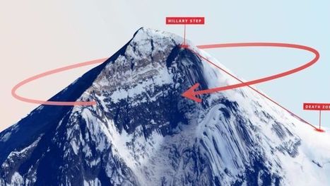
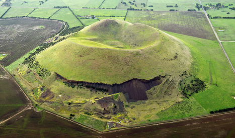
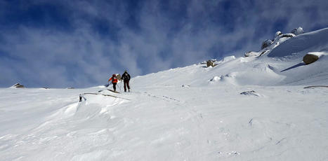

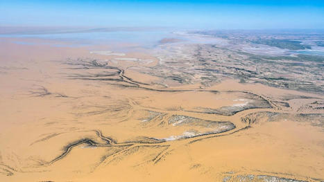

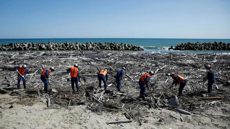
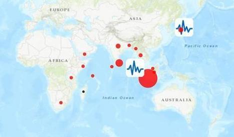

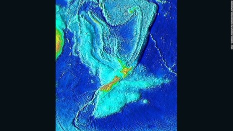
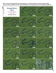
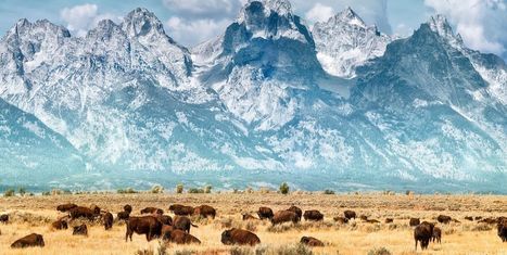

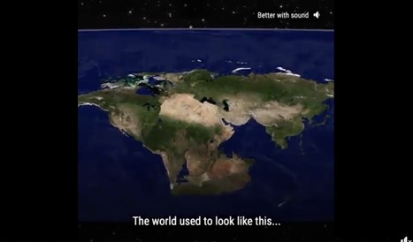

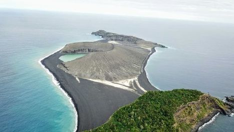


Introduce this topic using stunning photos or short video clips such as this.
Have students recognise and distinguish between landforms and landscape - do not give them a definition. Work out out.